Tarapaca
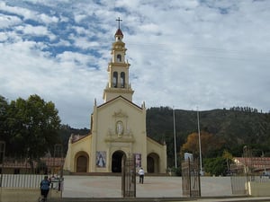
It is composed of 7 communes: Iquique, Alto Hospicio, Camina, Colchane, Huara, Pica and Pozo Almonte, the first two being the most populated urban centres, and the last the capital of the Province of Tamarugal
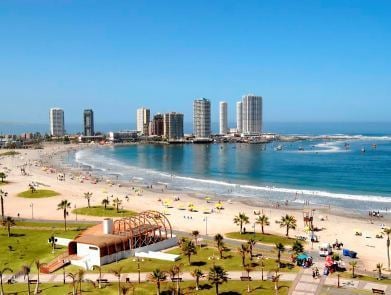
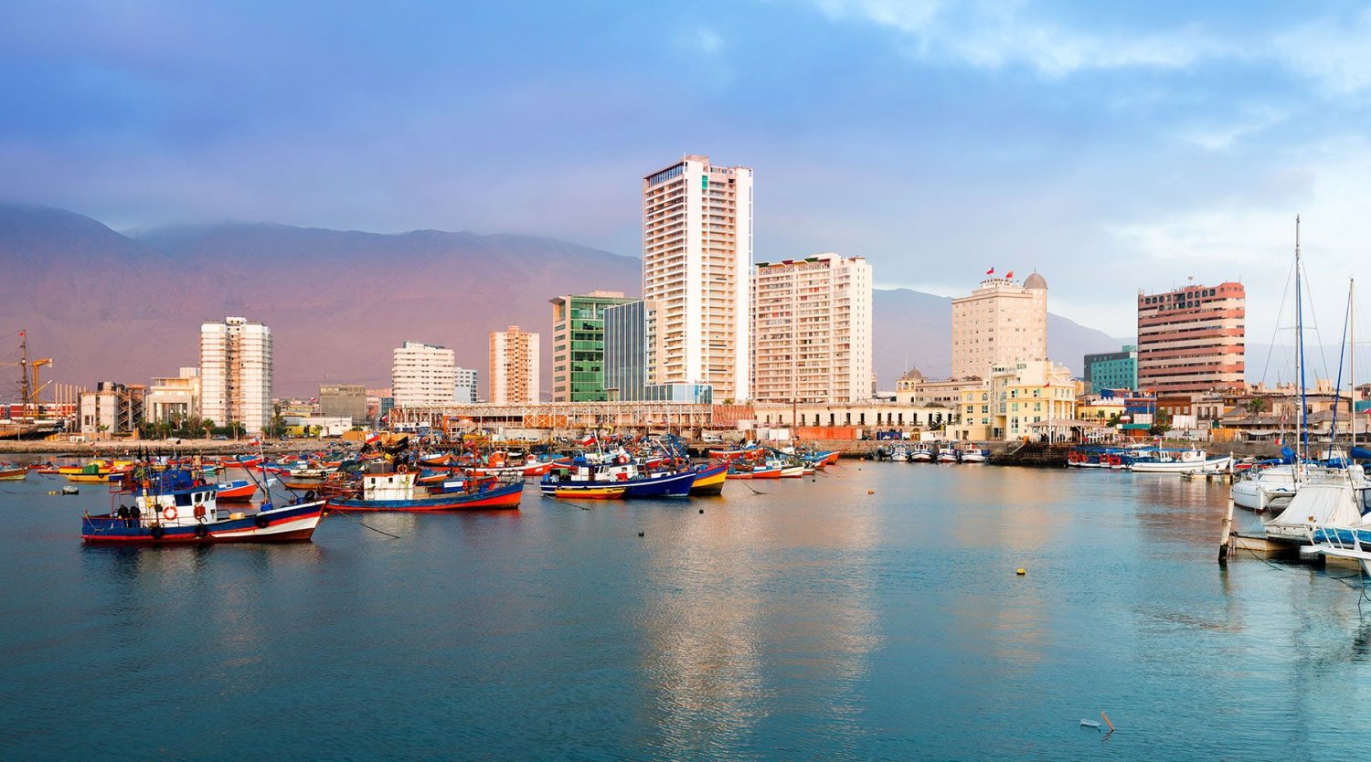
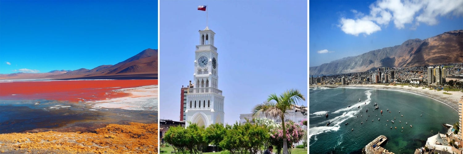
The Tarapaca Region falls between 18 ° 56 'and 21 ° 36' of South Latitude and from 68 ° 24 'of West Longitude to the Pacific Ocean. Its general limits are; to the North the XV Region of Arica and Parinacota; This with Bolivia; South, the II Region of Antofagasta and to the West with the Pacific Ocean. The regional capital is the city of Iquique, a seaport.
The Region is divided into 2 provinces:
- Iquique
- Tamarugal, National Reserve Pampa del Tamarugal
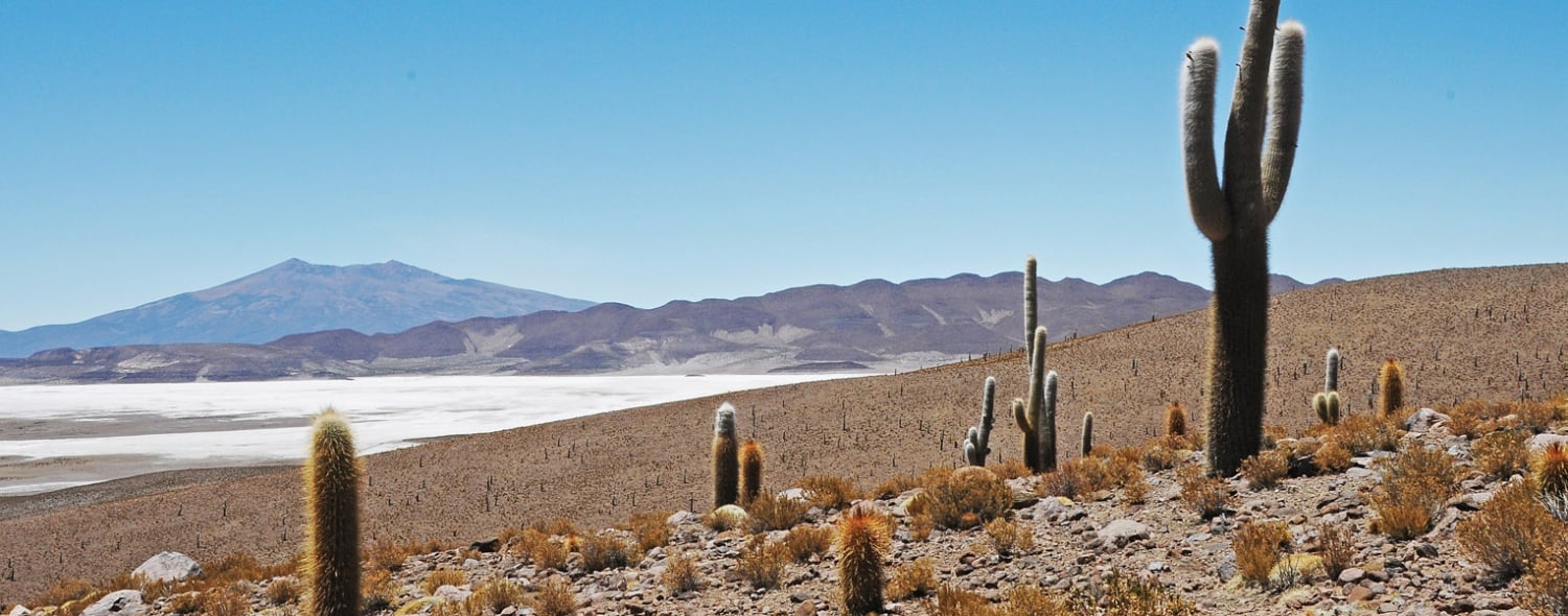
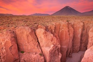
Its geography is composed of 5 longitudinal strips: the Coastal or Coastal Plain, the Cordillera de la Costa, the Intermediate Depression, the Andes, and the Altiplano, clearly demarcated and that since prehispanic times was traveled by its inhabitants through caravans that allowed the exchange of food products between the different ecological floors.
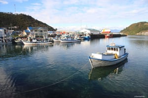
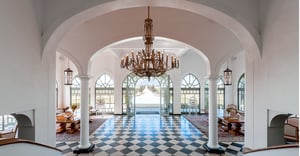
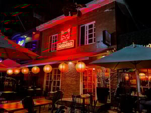
The economic activities of the region are characterized by the exploitation of natural resources, such as industrial fishing for the production of fishmeal, mining, port and mercantile activity, and tourism.
Agriculture and livestock are a minority, due to the aridity of the land. However, there are certain crops in the areas of gorges and oases such as Pica, which allows the development of this activity in local commerce. In the altiplano, cattle raising of auquénidos is developed mainly, developing grazing activities, where the bofedales are the main sustenance. Its tourist attractions, also diverse, start at the beaches of the coast, passing through the vestiges of the Pampa Salitrera and the Oasis of Pica, the Precordilleran Ravines and its thermal waters, and rise to the western slope of the Andes mountain range where Volcanoes and salt flats are found above 5,000 meters above sea level. They are visited all year round by foreign and national tourists.