Best Seller
Santiago: Private Pomaire, Isla Negra, and Pablo Neruda Tour
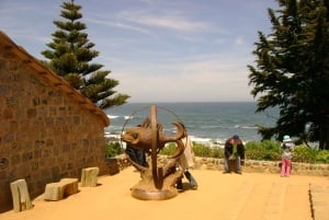
3 ReviewsExplore Isla Negra, the Pablo Neruda Museum, and Pomaire's clay craftwork on a private guided tour from Santiago.